Vietor Aviation
HOME
Aviation
Weather
WXP
ADVISORIES
SIGMET
G-AIRMET
Center Weather
FORECASTS
Convection
Turbulence
Icing
Wind/Temps
TAFs
Avn Forecast Disc
OBSERVATIONS
Aircraft Reps Data
METARs
Radar
Satellite
TOOLS
Full Tool
Data API
Text Data Server
NEWS
News
Status
USER
Login
Settings
Go
Satellite Imagery
Sat Home
Plot
VisFog
Intl
Info
Data
Satellite
NWS Hazard
Overlay
Highway
Road
County
Jetroute
FIR
View
User 1
User 2
User 3
User 4
CONUS
Northeast
Southeast
North Central
South Central
Northwest
Southwest
Configure
Satellite
Type
Infrared
Infrared NES color
Visible
Water Vapor
Water Vapor NES color
Opacity
25%
50%
75%
100%
Array loop:
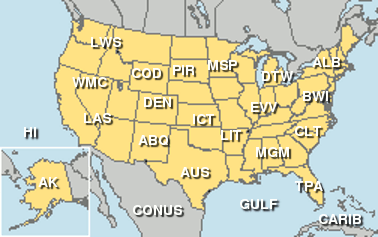
US Regional Images
Click on site name for regional plot