Vietor Aviation
HOME
Aviation
Weather
WXP
ADVISORIES
SIGMET
G-AIRMET
Center Weather
FORECASTS
Convection
Turbulence
Icing
Wind/Temps
TAFs
Avn Forecast Disc
OBSERVATIONS
Aircraft Reps Data
METARs
Radar
Satellite
TOOLS
Full Tool
Data API
Text Data Server
NEWS
News
Status
USER
Login
Settings
Go
Aircraft Reports
AIREP Home
Plot
Data
Info
Imagery
Sat
Radar
AIREP/PIREP
Overlay
Highway
Road
County
Jetroute
FIR
Nav Aid
View
User 1
User 2
User 3
User 4
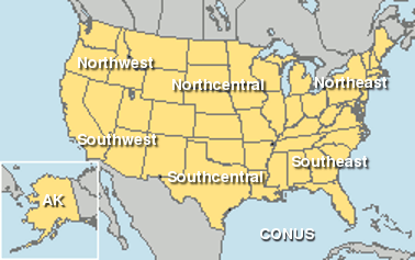
CONUS
Northeast
Southeast
North Central
South Central
Northwest
Southwest
Alaska
Hawaii
Caribbean
Europe
South America
East Asia
Australia
Configure
Parameters Visible:
Temp
Wind
Alt
Vis
Wx
Cover
Ceil
Dew
Wgst
Id
Density
-1
0
+1
+2
All
Scale
1
1.25
1.5
Decoded data
Include TAF
Current Aircraft Reports
Click on region name to access plot
Interactive Map
Request Aircraft Reports
Center ID:
Distance:
20 SM (32 KM)
50 SM (80 KM)
100 SM (161 KM)
150 SM (242 KM)
200 SM (322 KM)
250 SM (402 KM)
300 SM (483 KM)